GEOEXELIXI operates in the field of geological and hydrogeological studies and services, offering comprehensive solutions at all stages of water-abstraction works — from licensing and supervision to geophysical surveys, hydrogeological studies and GIS applications.
With a responsible technical approach and experience in the field, we provide comprehensive solutions that reduce time, cost and the risk of delays.
Who we serve
We undertake the complete management of the project, addressing:
- Technical services (Municipalities, DEYA)
- Industries (including bottled and natural mineral water units)
- Hotel units
- Consultants
- Private individuals and farmers
Equipment & expertise
We use modern equipment and specialised software from recognised manufacturers, in order to cover a wide range of applications in geological research, environmental investigation and geotechnical engineering:
- In-borehole geophysical surveys (logging) with Mount Sopris Instruments equipment
- Surface geophysical methods with ZONGE, MALA, 3d-Radar, GEONICS, GEOMETRICS and ABEM instruments
- Borehole camera inspection
- Mapping and GIS applications with ArcGIS / ArcGIS Pro and the Esri platforms
Our services
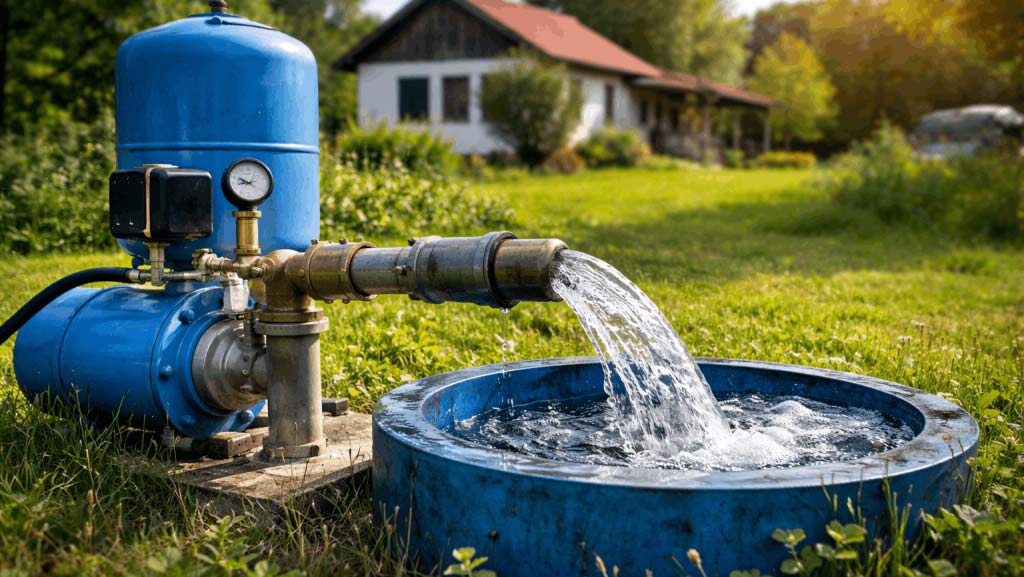
Borehole Licensing & Supervision
Licensing and supervision of boreholes are critical stages for the legal construction and operation of water-abstraction works. Proper management of the process ensures compliance with legislation, the technical soundness of the project and its smooth utilisation.
Read more for: Borehole Licensing & Supervision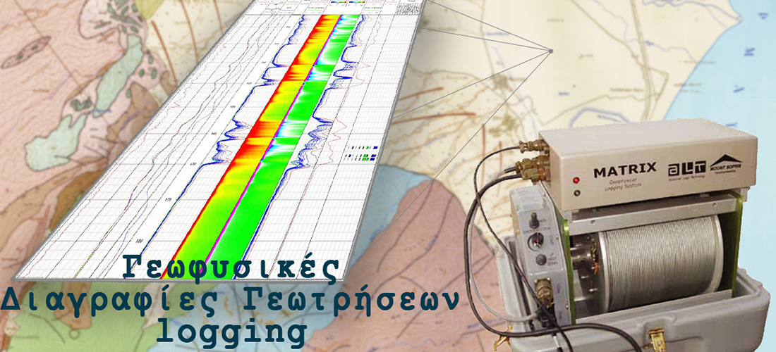
In-Borehole Geophysical Surveys (Borehole Logging)
In-borehole geophysical surveys are a critical stage of quality control and assessment during the construction of new water boreholes. Measurements are carried out immediately after drilling and before final utilisation, providing reliable data on the behaviour and dynamics of the aquifer system.
Read more for: In-Borehole Geophysical Surveys (Borehole Logging)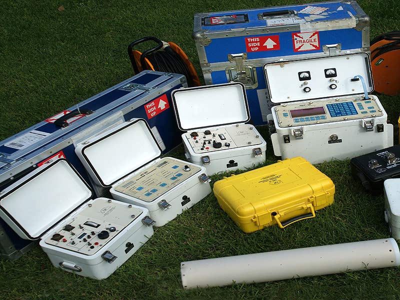
Surface Geophysical Measurements
The geophysical methods that the office is able to perform in combination cover a very wide range of applications in geological research, environmental investigation and geotechnical engineering.
Read more for: Surface Geophysical Measurements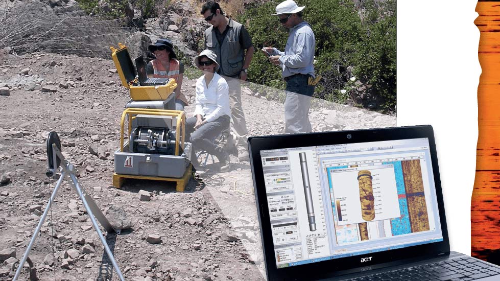
Borehole Camera Inspection
Borehole camera inspection is a fundamental diagnostic tool, mainly for existing and old boreholes, where a clear picture of the internal condition is required before any technical intervention.
Read more for: Borehole Camera Inspection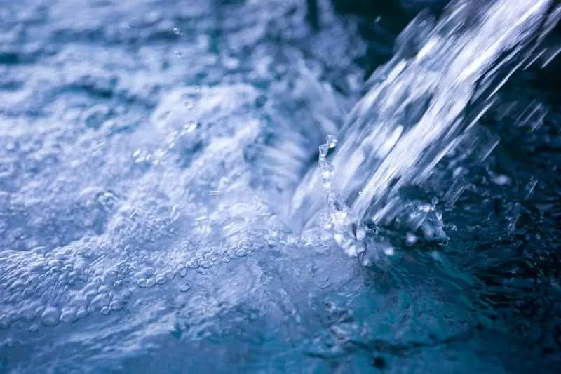
Special Hydrogeological Studies
Special hydrogeological studies are a critical tool for assessing the quality and condition of groundwater, particularly in areas with increased environmental pressures or management requirements.
Read more for: Special Hydrogeological Studies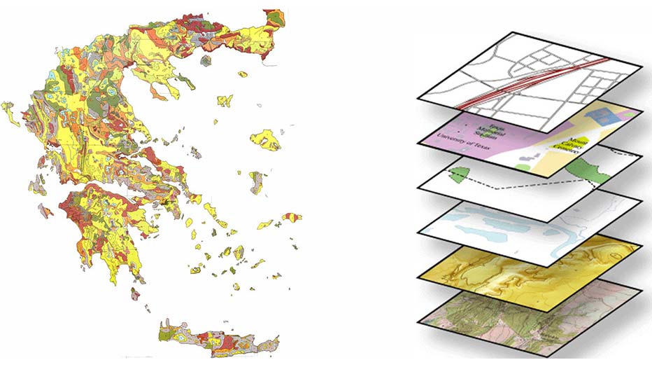
Mapping (GIS)
Our company has recently acquired the most complete and efficient ArcGIS software and the WinPad Ultra 12.1 tablet, suitable for field data mapping, with which it is able to use and incorporate this technology into all the studies it carries out.
Read more for: Mapping (GIS)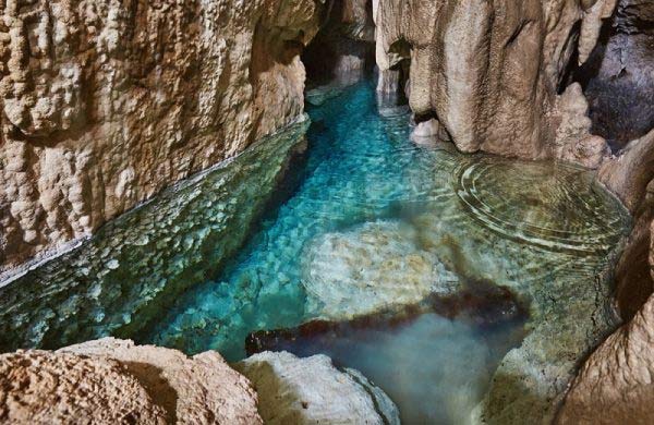
Environmental Impact Studies (EIS)
We undertake the preparation of Environmental Impact Studies (EIS) exclusively for water-abstraction, water-supply and irrigation projects implemented by the technical services of Municipalities and Water Supply & Sewerage Companies (DEYA). Our comprehensive and well-documented approach ensures compliance with the institutional framework and the smooth progress of the licensing procedure.
Read more for: Environmental Impact Studies (EIS)
GIS Applications
We develop modern GIS applications for Municipalities and Water Supply & Sewerage Companies (DEYA), leveraging the capabilities of ArcGIS Pro and Esri online platforms, with the aim of comprehensive management and visualisation of water-supply and irrigation networks.
Read more for: GIS Applications